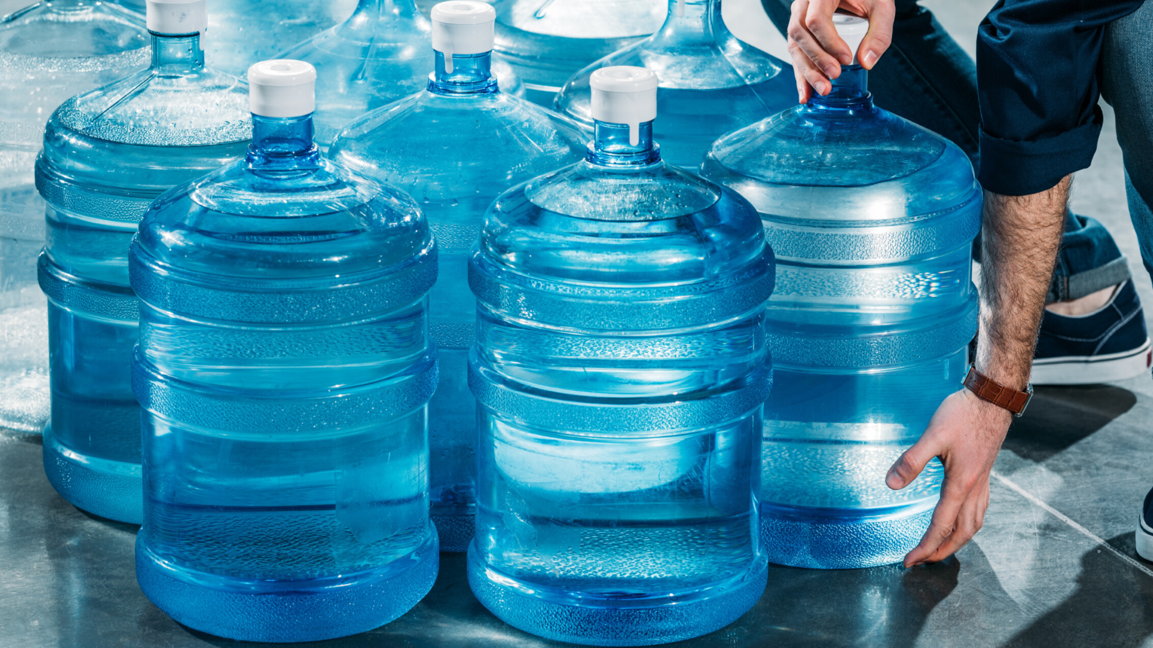
Prepare for an emergency by creating and storing a water supply that will meet your family’s needs.
Featured Content
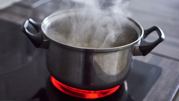
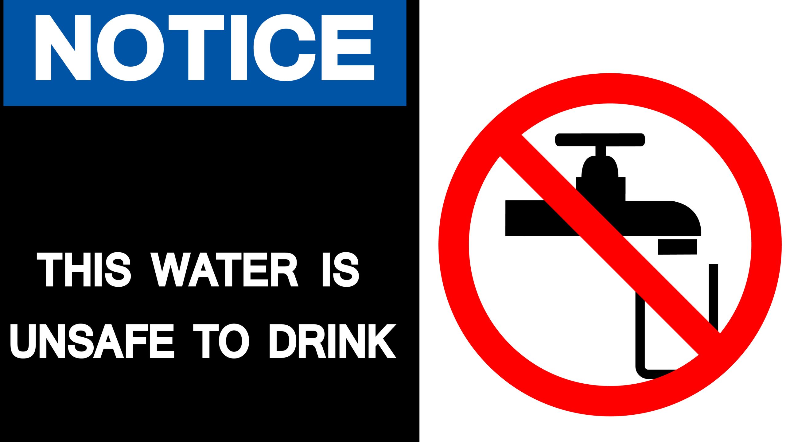
After an emergency, you may not have safe tap water. Use bottled, boiled, or treated water instead.
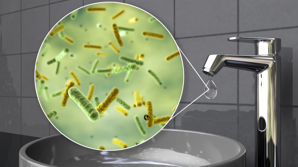
Follow recommendations from officials during an advisory to avoid getting sick.
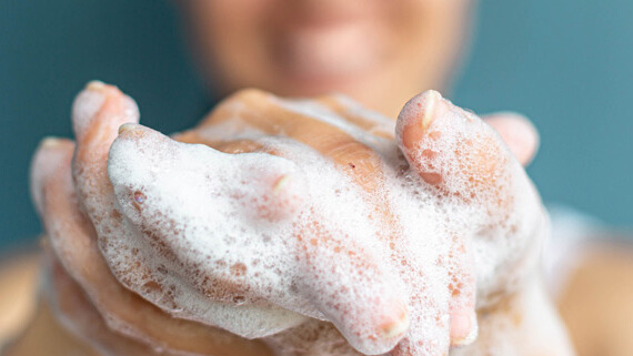
Learn how to safely maintain good personal hygiene in an emergency.
Toolkits
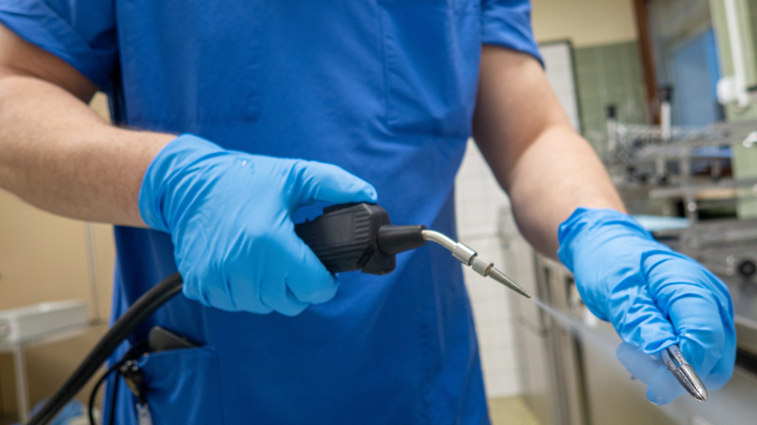
Guide for healthcare facilities to prepare for and respond to a water supply interruption.
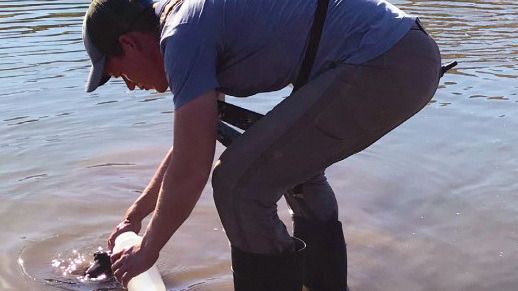
Detailed resource to assist health departments conduct waterborne disease outbreak investigations.
Guide to help water systems effectively communicate about drinking water advisories.