At a glance
Explore our resources for environmental health practitioners and the programs they serve. Topics include food safety, drinking water, recreational water, vector control, and more.

Food safety

Use our environmental assessment resources to improve your outbreak investigations.

Explore key findings about the environmental component of outbreak investigations.

Explore key findings from our research on restaurant food safety practices.
Safe water
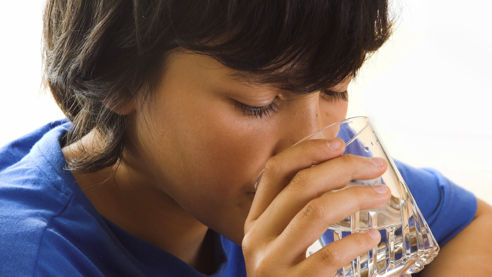
Learn about private drinking water and public health.
Explore our resources for the environmental part of Legionnaires’ disease outbreak investigations.
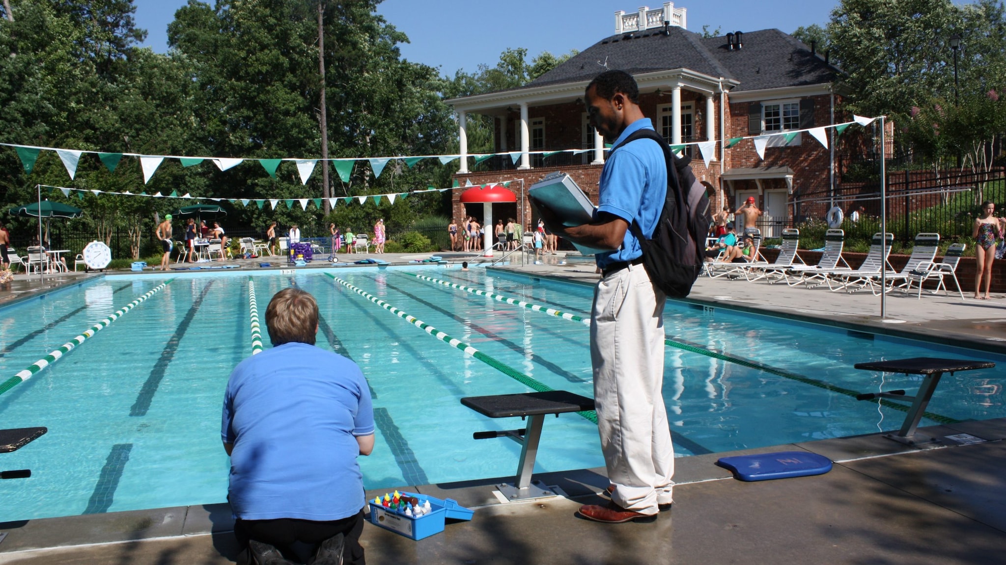
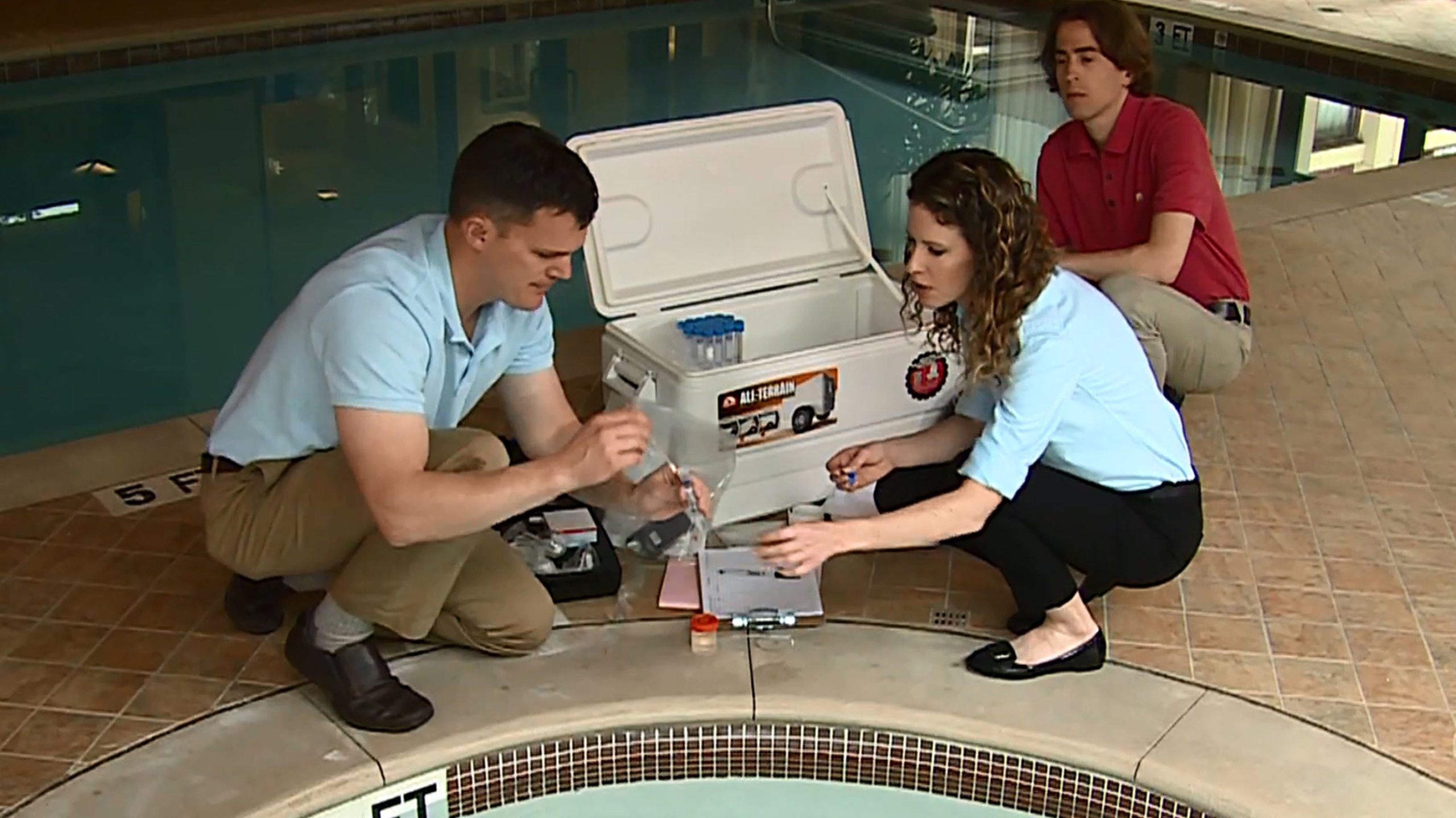
Use our resources to improve your program's inspections of public pools, hot tubs, and water parks.
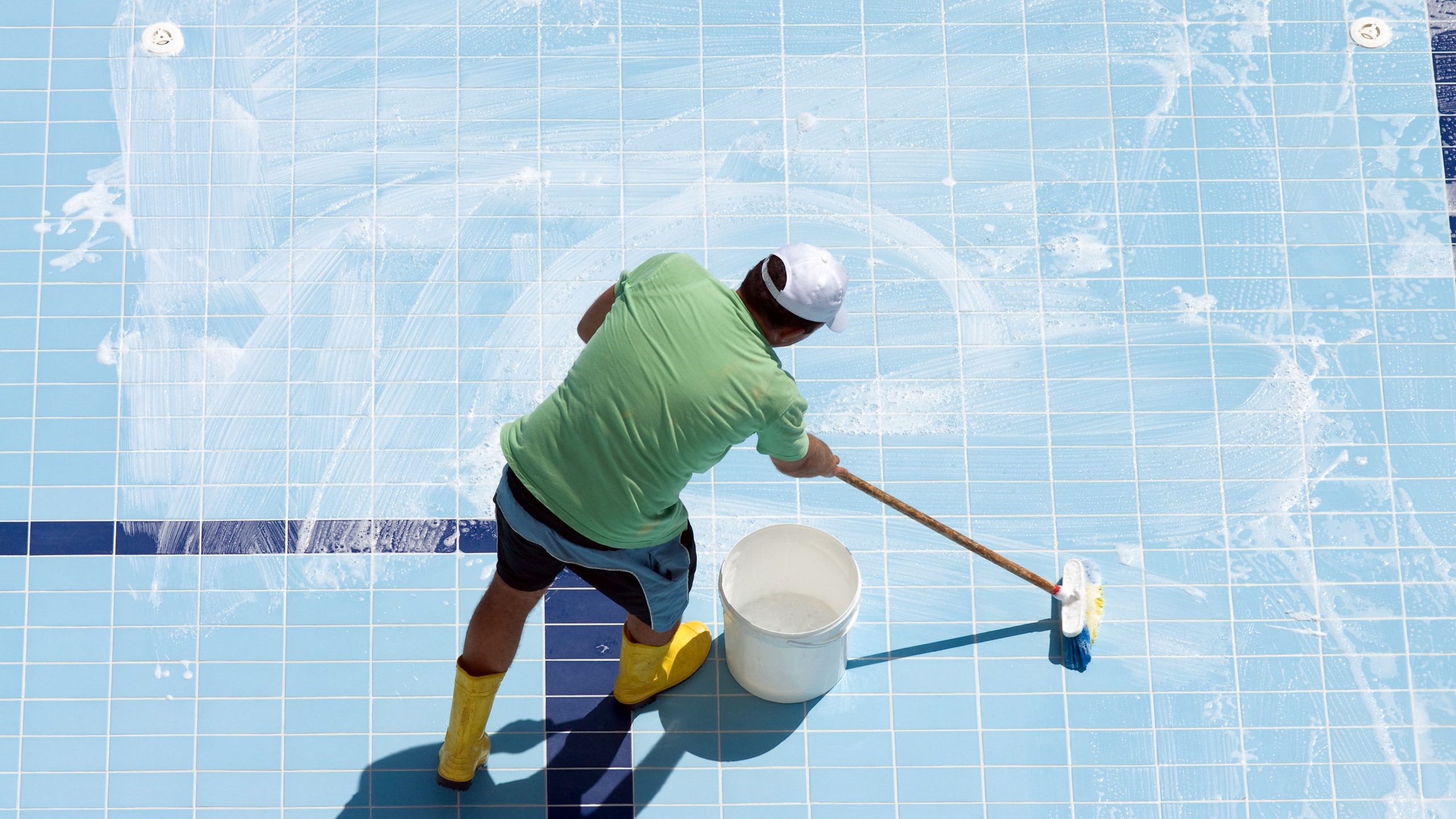
Explore recommendations for operating and maintaining public aquatic facilities.
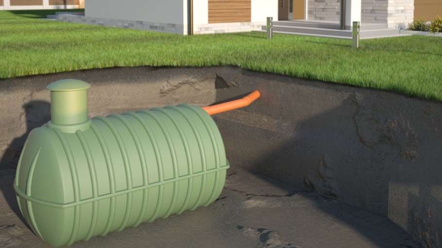
Explore these tools and resources on wastewater.
General environmental health

Sign up for our listserv and newsletter for information on environmental health issues and topics.
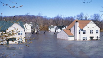
Find environmental health resources to support recovery after an emergency.

Learn about an internship opportunity linking environmental health students with health departments.

Explore our free trainings for environmental health professionals.

EH professionals are critical to protecting public health and the environment.
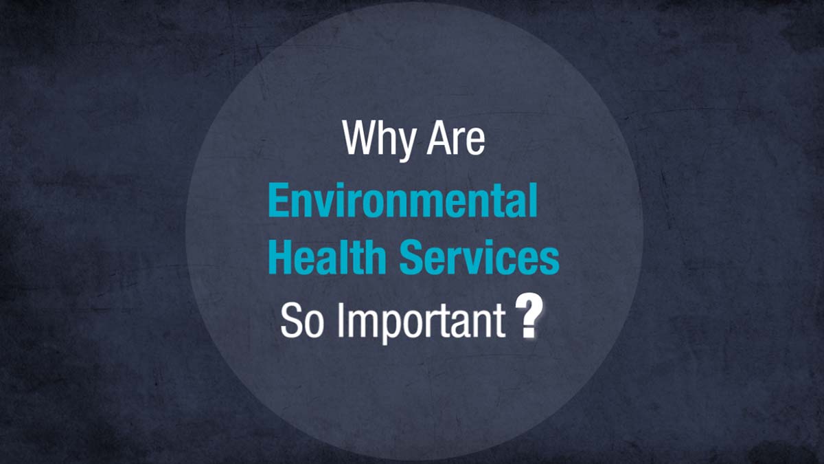
Watch our video about the value of environmental health services.
More environmental health resources
Access data dashboards to learn more about important issues that affect environmental health.
Find resources to improve the performance and quality of the services your program offers.
Learn about how CDC is working to strengthen health department environmental health programs.
Content Source:
National Center for Environmental Health