Key points
- The Active Communities Tool helps cross-sector teams create an action plan to improve built environments that promote physical activity.
- Improvements should be consistent with community context.
- The Active Communities Tool consists of an action planning guide and assessment modules.
Overview
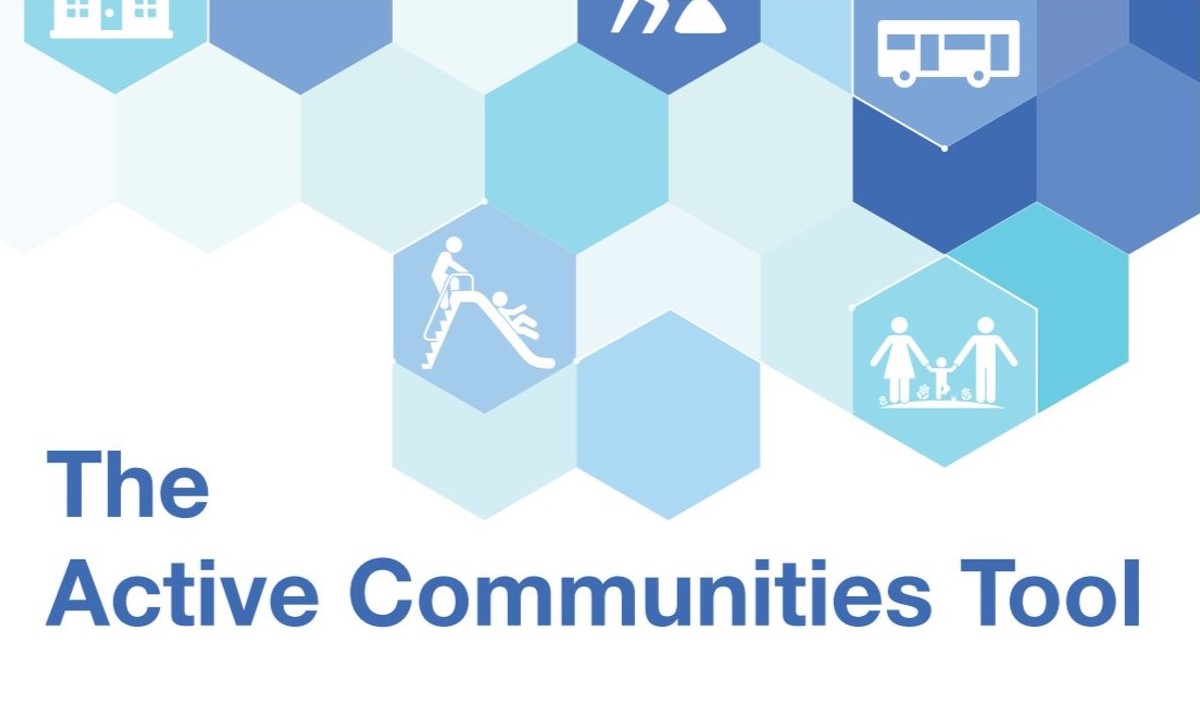
Use The Active Communities Tool to assess community plans, policies, and resources for improving built environments for physical activity.
The built environment includes the physical makeup of where we live, learn, work, and play. It involves roads, sidewalks, open spaces, and transportation options, as well as homes, schools, and businesses. The built environment can influence overall community health and individual behaviors, such as physical activity and healthy eating.
The Active Communities Tool has two parts:
Intended users
The Active Communities Tool is best suited for use with a single city or town, also called a municipality or community.
The action planning process should include a cross-sector team with representatives from a variety of disciplines (or sectors) across the community. These may include:
- Public health
- Transportation
- Public works
- Land use planning
Individuals working on these teams often have the technical expertise needed to understand and interpret the existing plans, policies, processes, and resources that shape the community's built environment.
They also have the responsibility and authority to implement many of these plans, policies, and processes. In addition, they are among the groups responsible for providing funding and other resources to improve the built environment to promote physical activity.
Suggested citation
Centers for Disease Control and Prevention – Division of Nutrition, Physical Activity and Obesity. The Active Communities Tool: An Action Planning Guide and Assessment Modules to Improve Community Built Environments to Promote Physical Activity. Atlanta, GA: US Department of Health and Human Services; 2019.