Key points
- States and communities can encourage physical activity by making changes to their community designs.
- This page provides resources for people and groups working on these projects.

Overview
Increasing physical activity through community design involves connecting to everyday destinations through activity-friendly routes.
Everyday destinations include homes, workplaces, schools, parks, health care, and food outlets. Activity-friendly routes include pedestrian, bicycle, and transit transportation networks.
The following resources provide information about community designs for physical activity.
Community Preventive Services Task Force recommendations
Built Environment Approaches Combining Transportation System Interventions With Land Use and Environmental Design
Combines efforts to improve pedestrian or bicycle transportation systems with land use and environmental design projects to increase physical activity.
Interventions to Increase Active Travel to School
Programs to increase walking among students and reduce risks of traffic-related injuries.
Assessments and data
Bicycling & Walking in the United States: Benchmarking Report
Publicly available data on bicycling and walking.
Built Environment Assessment Tool and Manual
Tool to help measure the core features and qualities of the built environment.
Child Opportunity Index
Indicators of resources available for children in neighborhoods.
Complete Streets Policy Adoption
Maps of U.S. adoption of state, local, and regional Complete Streets Policies from 2000 to 2021.
Create Thriving, Activity-Friendly Communities
Resources to help communities use economic indicators to assess and apply infrastructure investments more equitably.
Fatality Analysis Reporting System (FARS)
Data on fatal traffic crashes within the 50 states, the District of Columbia, and Puerto Rico.
Geospatial Data Storefront
Searchable geospatial datasets, web-based mapping tools, and application programming interfaces.
Housing + Transportation Affordability Index (H+T Index)
Maps, charts, and stats on housing and transportation costs at the neighborhood level for 917 metro and micro areas.
Making Strides 2022: State Report Cards on Support for Walking, Bicycling, and Active Kids and Communities
Reveals how supportive each state is for walking, bicycling, and physical activity.
Nutrition, Physical Activity, and Obesity: Data, Trends, and Maps
National and state data on weight status, eating habits, physical activity, and breastfeeding behaviors. Includes information about environmental and policy supports.
The Trust for Public Land’s ParkServe®
Park-related data for 14,000 U.S. cities and towns. See the location of parks in a community, neighborhoods within a 10-minute walk to a park, and areas that do not have access to a park.
PLACES: Local Data for Better Health
Model-based, population-level analysis and community estimates for U.S. counties, incorporated and census-designated places, census tracts, and ZIP Code Tabulation Areas.
Smart Location Database
Nationwide, geographic data on housing density, land use diversity, neighborhood design, destination accessibility, transit service, employment, and demographics.
Walkability Index
Dataset characterizes every U.S. Census block group based on its relative walkability.
WISQARSTM Injury Data (Web-Based Injury Statistics Query and Reporting System)
Fatal and nonfatal injury, violent death, and cost of injury data.
Training and technical assistance
Champions Corner
Resources to support and create safe and complete streets.
Walkability Action Institute
Prepares interdisciplinary teams from regional planning organizations to create action plans supporting walking and walkability policies and plans.
Walking College
Online, educational program to build local capacity to create action plans that increase walking and improve walkability.
Activity-friendly routes
The following resources provide information about activity-friendly routes.
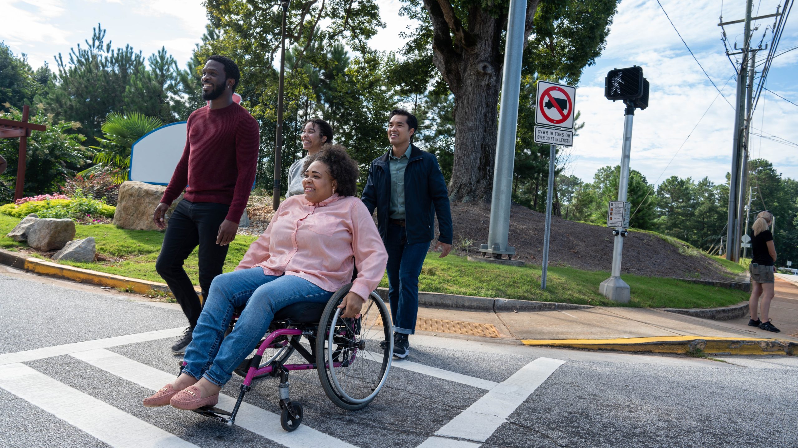
Complete Streets policies
Complete Streets in the Federal Highway Administration
Federal support for state and local transportation agencies to plan, implement, and evaluate streets and networks.
Small Town and Rural Multimodal Networks*
Includes case studies, ways to make gradual improvements, and ways to contribute to innovation despite geographic, fiscal, and other challenges.
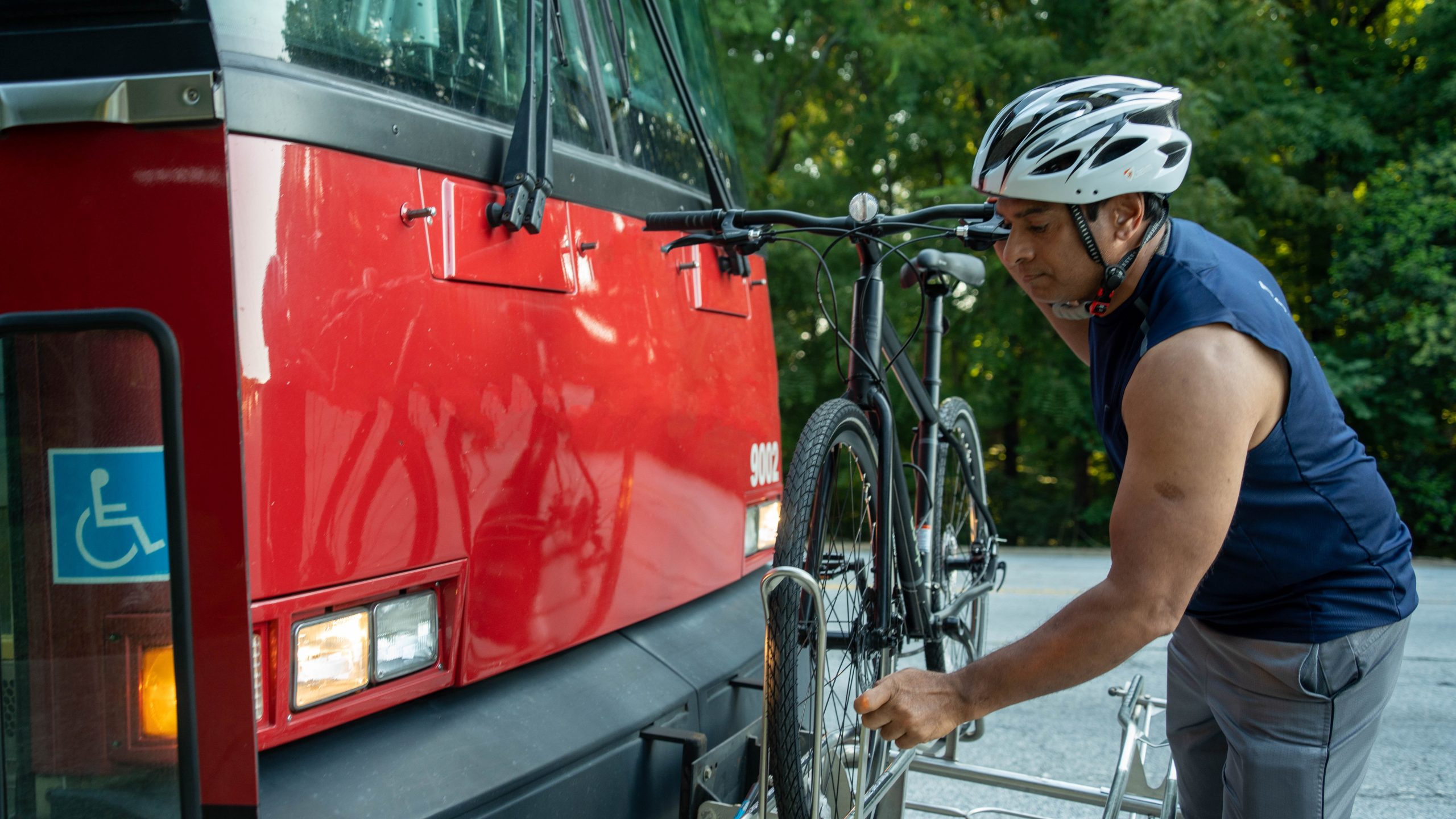
Public transit
Public Health Action Guide: Public Transportation
Promotes the health benefits of expanding public transit options and shares actions for public health professionals.
Safe Routes
Building Blocks: A Guide to Starting and Growing a Strong Safe Routes to School Program
How to start a program, get the school and city on board, and strengthen the program over time.
Building Momentum for Safe Routes to School: A Toolkit for School Districts and City Leaders (SRTS)
How to build and sustain an SRTS task force, structure and sustain a paid SRTS coordinator position, and adopt SRTS policies. Includes examples of an invitation letter, job descriptions, city resolutions, and district policies.
Engaging Students With Disabilities in Safe Routes to School*
Describes benefits, strategies, components of accessible programming, considerations for students with disabilities, and ways to partner and build resources.
Safe Routes to Parks Action Framework*
Provides park professionals with resources and best practices to help implement Safe Routes to Parks.
Vision Zero
Vision Zero is a movement to eliminate traffic-related deaths and severe injuries.
Zero Deaths and Safe System
Using the Safe Systems approach for the vision of eliminating traffic-related deaths.
Everyday destinations
The following resources provide information about eveyday destinations.
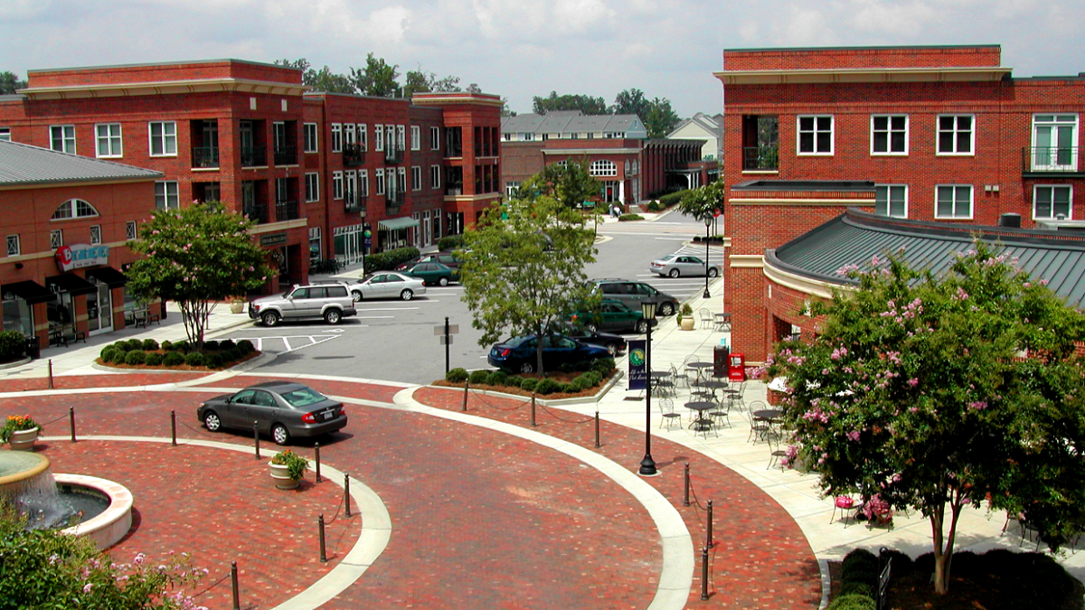
Land use planning
Everyday Destinations
A blog series describing 15 planning approaches for small and rural communities.
Fostering Healthy Communities Through Planning and Public Health Collaboration
Shows how planners and public health professionals can work together to create healthy communities.
Comprehensive or master plans
Creating Walkable & Bikeable Communities
Options for bicycling and pedestrian facilities in rural, suburban, and smaller urban cities. Includes tools, techniques, and samples.
Health in the Development Review Process
Guide to regulatory aspects of planning for health in cities and counties. Addresses why and how to incorporate health into the development review process.
Zoning policies
Building Healthy Corridors
How a variety of professionals can transform commercial corridors into places that support health for people who live, work, and travel there.
Choosing Our Community's Future
Guidebook for citizens to shape growth and development. Includes photographs, stories, profiles of people and places, lessons learned, resources, and a glossary.
Form-Based Codes: A Step-by-Step Guide for Communities
Helps communities update zoning ordinances to align with local comprehensive plans to create healthy, safe, walkable communities. Explains how communities can use form-based codes to achieve their vision for transportation, housing, and economic development.
Providing Well-Placed Affordable Housing in Rural Communities
Toolkit for rural local governments to help provide affordable housing that supports physical and economic health by changing zoning restrictions, protecting existing subsidized housing, and taking advantage of federal assistance.
*Can be used to help address access to physical activity for all Americans.