At a glance
We Track That
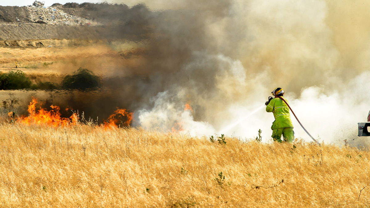
National air quality has improved since the 1990s. Many challenges remain in protecting public health and the environment from air quality problems. Air pollution in the United States poses a public health threat affecting potentially millions of people nationwide. It is associated with health problems like:
- asthma
- increased emergency department visits for breathing and heart problems
- increased hospital stays for breathing and heart problems
- increased illnesses such as pneumonia and bronchitis
Federal, state, local, and tribal air agencies operate and maintain a variety of outdoor air monitoring systems across the country. Many of these systems serve several environmental objectives. These include:
- letting us know how clean or polluted the air is
- helping us track progress in reducing air pollution
- informing the public about air quality in their communities
In addition, the Tracking Network allows users to analyze factors that may increase vulnerability to health effects. These include income, race and ethnicity, health insurance status, and age.
Types of Data
CDC works closely with federal partners. These include Environmental Protection Agency (EPA), National Aeronautics and Space Administration (NASA), and National Oceanic and Atmospheric Association (NOAA). We work together to provide air quality data on the Tracking Network. And we partner to better understand how air pollution affects our health.
EPA and CDC studies found that modeled predictions of air pollution are very similar to actual data.A However, in some areas, modeled data underestimate or overestimate the air pollutant concentration levels. Therefore, the best way to use modeled air data is with actual monitoring data. Both actual and modeled datasets are available on the Tracking Network.
Monitor + Modeled Air Data Indicators
Ozone Days Above Regulatory Standard
This is the number of days in which the daily maximum 8-hour average ozone concentration exceeds a standard. It provides an indication of short-term spikes in ozone concentrations. It estimates how many days per year you may be exposed to unhealthy levels of ozone.
PM2.5 – Days Above Regulatory Standard
These data help summarize short-term trends in particle pollution concentrations. They show you about how many days per year you may be exposed to unhealthy levels of particulate matter.
Annual PM2.5 – Level
These data help summarize long-term trends in particle pollution concentrations. This will give you an idea of the yearly level of PM2.5 in an area.
Data from EPA's National-Scale Air Toxics Assessment are used to develop these indicators. Air toxics measures can be used to:
- prioritize emission sources for risk reduction activities.
- identify emission sources for further study.
- identify locations of interest for further investigation.
- show the geographic distribution of air toxics.
Forecasted Air Quality Indicators
The Tracking Program collaborated with NASA's Goddard Space Flight Center to develop this dataset. These forecasts can help decision-makers and other stakeholders anticipate harmful air pollution exposures several days in advance.
This composition forecast dataset is a research-grade product. Only use this when substantial error in estimates does not pose a significant threat to human health or other operational priorities.
This indicator displays locations of predicted surface smoke concentrations from wildfires. They are layered on top of county- and census tract-level measures including the following.
- access to care and social vulnerability
- health status
- annual air quality levels
- population characteristics
Access the Data
Use the Data Explorer to create custom maps, tables, and charts.
View data in simple Quick Reports.
Get machine-readable data from the Application Program Interface (API).
Data in Action
Tracking air quality in a standard way over time can help with different kinds of public health actions. Some examples include:
- tracking potential exposures and evaluate health impacts.
- estimating positive health impacts from change in outdoor air quality.
- prioritizing emission sources for risk reduction activities.
- identifying populations or locations for further investigation.
- conduct studies linking health effects and the environment.
- informing emergency planning and response to air quality emergencies.
- In areas where the two can be compared.