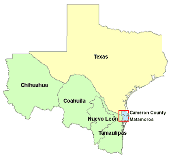
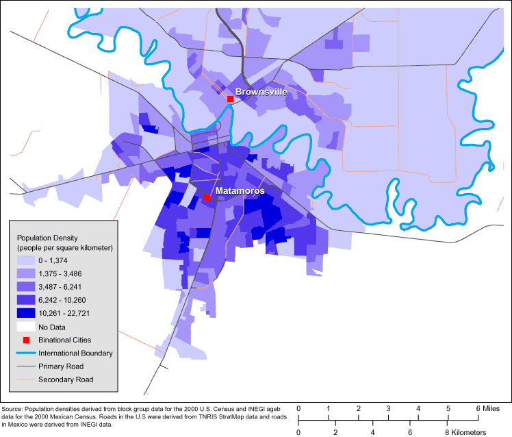
Figure 1. Maps of the US-Mexico Border Region (Top) and of Brownsville, Texas, and Matamoros, Tamaulipas, Mexico (Bottom). (The authors thank Allison Abell Banicki of the Office of Border Health, Texas Department of State Health Services, for creating the map of the Texas-Mexico border states and thank Jean W. Parcher, Sylvia N. Wilson, and the United States Geological Survey [USGS] for providing the map of population density in Brownsville and Matamoros.)
The first map shows the location of Brownsville in the southernmost tip of Texas. Matamoros is just across the border, in the northeast corner of Mexico. The second map shows the 2 cities in greater detail, with relative population densities. The city centers are only approximately 5 kilometers apart, and Matamoros is more densely populated than Brownsville.
![]()
Volume 5: No. 4, October 2008