Building GIS Capacity for Chronic Disease Surveillance


This project builds Geographic Information System (GIS) capacity within state and local health departments for the surveillance and prevention of heart disease, stroke and other chronic diseases.
Collaborating Organizations include:
- The Centers for Disease Control and Prevention (CDC)
- The National Association of Chronic Disease Directors (NACDD)
- University of Notre Dame
The main objectives of the project are to enhance the capacity for using GIS techniques to:
- Document geographic disparities in chronic diseases
- Strengthen community partnerships
- Inform chronic disease policies and program development
- Facilitate collaboration among chronic disease units within a health department
Examples of How Health Departments are Using GIS
The online forum shares maps, training opportunities, and GIS resources to enhance chronic disease prevention and treatment.

The collection of key policies and practices helps to maximize the benefits of using GIS to prevent chronic disease and promote health. Three categories include workforce, chronic disease prevention, and GIS tools and resources.
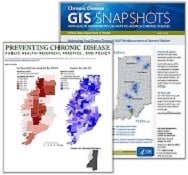
Maps from many participants have been published as GIS Snapshots in CDC’s Preventing Chronic Disease Journal. Several one-page fact sheets are also available.
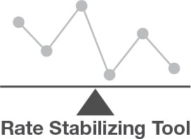
The Rate Stabilizing GIS tool allows users to input their own record-level data to generate reliable, local-level age-standardized measures of chronic disease or other population health outcomes.